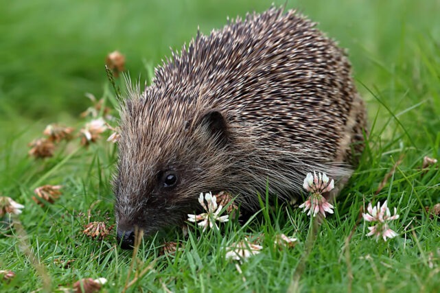
AI and Satellite Technology Could Help Reverse Britain’s Hedgehog Decline
Researchers at the University of Cambridge are using artificial intelligence (AI) and satellite data to help protect Britain’s declining hedgehog population.
By combining detailed imagery gathered from space with advanced AI analysis, scientists hope to identify where hedgehogs live, how their habitats are changing, and what obstacles may be preventing them from finding food and mates.
AI Mapping Reveals Hedgehog Habitats Across the UK
The project uses an AI-powered tool called Tessera, which analyses highly detailed satellite images of the UK to pinpoint hedgehog habitats and identify areas where these habitats are disappearing.
The resulting maps provide an exceptionally detailed view of the landscape, including individual hedgerows and other important wildlife features. AI technology can also predict suitable hedgehog habitats in areas hidden by cloud cover, helping researchers build a more complete picture of the countryside.
Scientists hope the technology will improve understanding of where hedgehogs live and how landscape changes affect their ability to survive and reproduce.
Tracking Environmental Changes Affecting Wildlife
Researchers say Tessera can help monitor how housing developments, infrastructure projects and other environmental changes impact hedgehog habitats over time.
The data generated by the system can also be combined with information collected through field studies, including GPS tracking devices attached to hedgehogs to monitor their movements in real time.
A similar conservation initiative is already underway in Northern Ireland, where hedgehogs are being fitted with small “backpack”-style trackers to help scientists better understand their behaviour and habitat use.
AI Increasingly Used in Wildlife Conservation
The hedgehog project forms part of a wider trend of using AI to support conservation efforts around the world.
Modern AI systems can process vast amounts of environmental data and identify patterns that may otherwise go unnoticed, helping researchers make better-informed conservation decisions.
However, some experts have urged caution over the growing use of AI due to concerns about the significant energy consumption required to power large-scale computing systems.
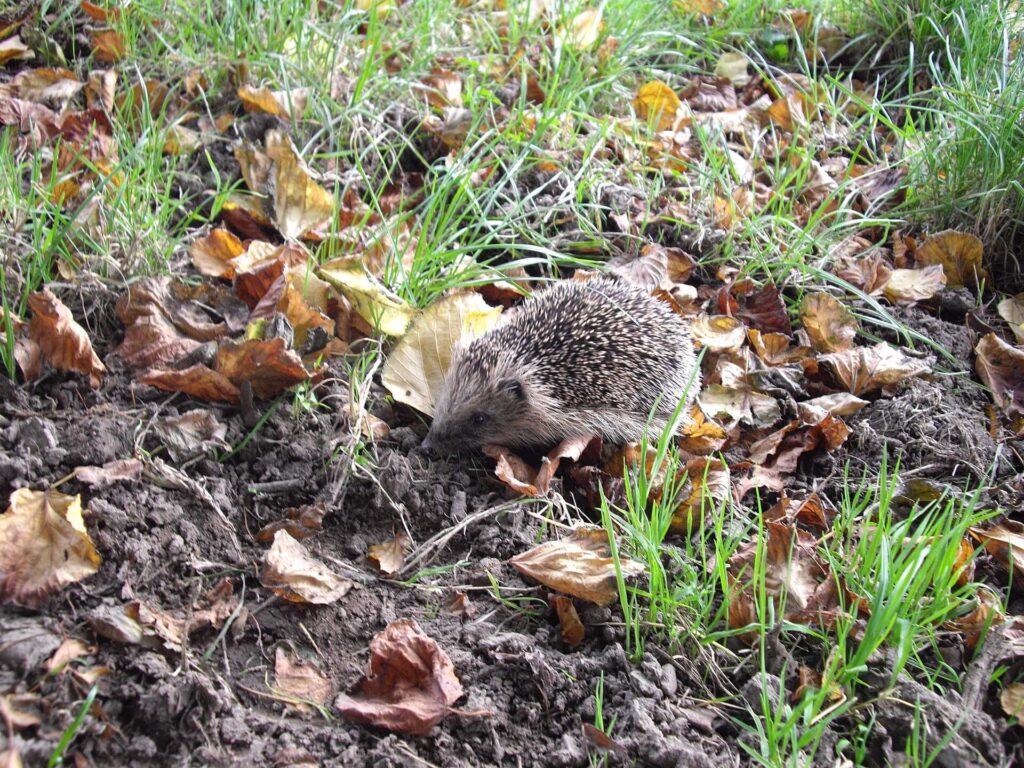
Hedgehog Numbers Continue to Fall
Hedgehog populations have experienced significant declines across Europe in recent decades.
In the UK, a 2022 report estimated that rural hedgehog populations have fallen by up to 75% since 2000.
The western European hedgehog, the UK’s only native hedgehog species according to the RSPCA, is currently listed as Near Threatened by the International Union for Conservation of Nature (IUCN).
Despite these challenges, conservationists remain hopeful that new technology can help reverse the trend.
How AI Could Help Protect Hedgehogs
Prof Silviu Petrovan, strategy and research manager at People’s Trust for Endangered Species, believes AI could play an important role in hedgehog conservation.
“What we’re really hoping is that we can use these really powerful models to understand, for instance, what are the very specific barriers for hedgehogs to find food and find their mates, and be able to safely move around the countryside?” he says.
Researchers involved in the project have even nicknamed GPS-tracked hedgehogs “digi-hogs”.
Building Tessera: Processing Billions of Images
Training the Tessera system required enormous amounts of data. Researchers used approximately 20 petabytes of information—equivalent to around 10 billion standard digital photographs—to develop the AI model.
The scale of the project pushed the university’s computing resources to their limits, leading researchers to install additional processors beneath their desks to continue processing the data.
A partnership with US technology companies AMD and Vultr has since provided access to additional computing infrastructure.
Open-Source Technology with Wider Environmental Applications
Although the system is helping researchers study hedgehogs, Tessera has far broader applications.
According to Cambridge University, more than 100 research groups are already using the open-source platform.
The technology can monitor farmland, identify crop types and track agricultural changes over time, helping build a more detailed understanding of UK land use and environmental management.
Professor Anil Madhavapeddy explained the benefits of simplifying complex satellite data for researchers.
“Satellite data is really complicated to use and really noisy, because you have to do things like cloud removal and adjust for day and night, and so on,” he said.
“Tessera compresses loads of that data and gives us really easy-to-use maps of the UK, where we can ask really specific questions about things we can see from space.”
New Technology Offers Hope for Hedgehog Conservation
As hedgehog populations continue to decline across Britain, researchers hope that combining satellite imagery, AI and real-world tracking data will provide valuable insights into how these iconic mammals use the landscape.
By identifying habitat loss, movement barriers and environmental pressures, conservationists may be better equipped to protect and restore the habitats that hedgehogs need to survive.
Support UK Environmental Conservation Efforts
At Natural World Fund, we support efforts to protect and restore habitats that help wildlife thrive. The use of innovative technologies such as artificial intelligence and satellite mapping offers new opportunities to better understand the challenges facing species like the hedgehog and identify practical conservation solutions. By improving habitat connectivity, protecting green spaces and supporting evidence-based conservation, we can help create a safer future for hedgehogs and other native wildlife across the UK.
If you care about restoring native wildlife, support the work of Natural World Fund today.
Image sources
- Hedgehog_at_Llansannor_-_geograph.org.uk_-_2627848 by John Lord. Cropped and resized from original: Wikipedia Commons
- A_daytime_hedgehog_-_geograph.org.uk_-_6895029 by Walter Baxter. Resized from original: Wikipedia Commons