

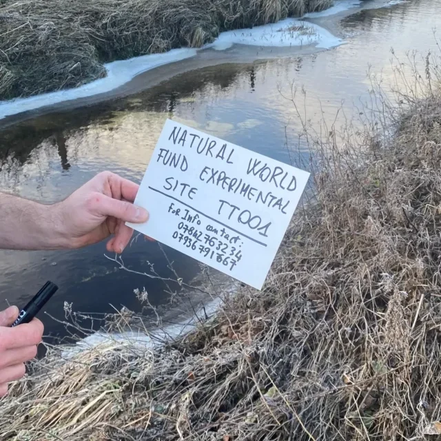
Warksburn River Restoration Project: Monitoring the River and Rebuilding a Catchment
Our river restoration work in the Warksburn catchment in Northumberland has reached an important milestone. The monitoring network, in partnership with Northumbrian Water, is now successfully installed and collecting data, giving us a much clearer picture of how water moves through this damaged landscape.
Britain’s rivers are under pressure from many directions. Historic drainage, forestry, intensive land management, soil erosion and changing rainfall patterns can all affect how quickly water moves through a catchment, how much sediment reaches a river and how suitable its waters remain for wildlife.
At Natural World Fund, we believe restoring rivers means looking beyond the river channel itself.
A river is part of a much larger landscape. To restore its natural function, we need to understand what is happening across the whole catchment.
That is exactly what we are beginning to do in the Warksburn catchment in Northumberland.
Understanding the Warksburn
The Warksburn is an important tributary of the North Tyne. Our study area covers approximately 2,155 hectares, with the main watercourse extending around 8.8 kilometres from its source to Stonehaugh.
The wider North Tyne system is particularly important for wildlife, including the freshwater pearl mussel, one of Britain’s most threatened freshwater species.
The Warksburn water body was classified as Moderate in 2019. Although the catchment has not been designated as artificial or heavily modified, its natural hydrology has been substantially influenced by historic forestry operations and agricultural drainage.
That makes it an important place to investigate how we can begin restoring more natural patterns of water movement.
The monitoring network is now in place
The first stage of our project has been to establish a detailed monitoring network across the catchment.
We have now successfully installed the equipment needed to begin building a high-resolution picture of the river and its surrounding landscape.
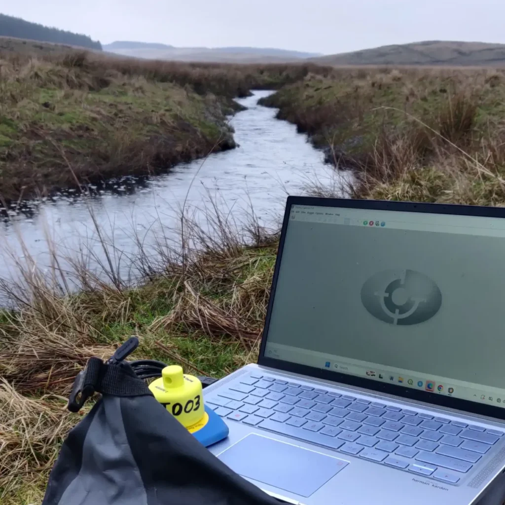
This includes a new flow monitoring station near the confluence of the Warksburn and Middleburn.
This location is particularly important because it allows us to distinguish the hydrological behaviour of the two tributaries. By understanding how each responds to rainfall, we can begin to investigate how factors such as land use, forestry management, peatland condition and drainage influence the way water moves through the catchment.
We have also established rainfall and weather monitoring in the upper valley. This will allow rainfall and other weather conditions to be compared directly with changes in river flow.
Along the Warksburn, water temperature loggers are being used to record changes in temperature along the river.
Together, these instruments are creating a network of observations that will allow us to understand the catchment as a connected system.
Why monitoring matters
It can be tempting to think of river restoration as simply putting measures into a river.
But successful restoration starts with understanding what is actually happening.
- When heavy rain falls, where does the water come from?
- How quickly does it reach the river?
- Where does water slow down naturally, and where has drainage or land management accelerated its movement?
- Where is sediment entering the river?
- How does water temperature change as the river moves downstream?
- And where could restoring woodland, peatland, wetlands or natural floodplain processes make the greatest difference?
These are the questions our monitoring programme is designed to help answer.
The data will allow us to move from assumptions about what might be happening to evidence about what is happening.
From data to restoration
This project is a feasibility study, but its purpose goes far beyond collecting numbers.
The information we gather will help identify practical opportunities to restore natural processes across the Warksburn catchment.
These could include:
- restoring peatland and its natural water-retention capacity
- reconnecting water with areas of natural flood expansion
- reducing the speed of runoff during extreme rainfall
- addressing sources of fine sediment
- creating riparian woodland and buffers
- improving river shading
- restoring wetlands and natural drainage pathways
- exploring leaky barriers and other natural flood management measures
- creating woodland corridors that reconnect habitats across the landscape
The aim is not to impose a single solution across the catchment.
Instead, we want to understand where different interventions can work together to rebuild the natural functions of the landscape.
Helping rivers and people
There is also an important human reason for this work.
Properties along the Warksburn are currently, or may become, vulnerable to flooding. Understanding how water behaves during normal conditions and extreme rainfall can help inform future natural flood management planning.
Restoring natural processes can potentially provide benefits for both people and wildlife.
A healthier catchment can hold more water, release it more slowly, reduce erosion and create better conditions for aquatic ecosystems.
That is why landscape-scale habitat restoration matters.
The health of a river cannot be separated from the health of the land around it.
Protecting a river downstream
The Warksburn also forms part of the wider North Tyne system, meaning that what happens here does not stay here.
Sediment, water temperature and changes in river flow can all influence downstream ecosystems.
This is particularly relevant to freshwater pearl mussel conservation.
Freshwater pearl mussels require exceptionally clean, well-oxygenated rivers and are sensitive to changes in their environment. Protecting the wider catchment is therefore an important part of protecting the species and the ecosystems on which it depends.
Our work is helping build the evidence needed to understand how restoration across the landscape can contribute to the recovery of these river systems.
A foundation for long-term restoration
The monitoring network is only the beginning.
Over the coming months, the equipment will continue collecting information about rainfall, river flow and water temperature. As the dataset grows, we will be able to investigate seasonal patterns, storm responses and differences between parts of the catchment.
That evidence will help us identify where restoration could have the greatest impact.
The project also contributes to wider research into catchment processes, including work connected with Forest Research’s Catchment Laboratories initiative and the emerging Woodland Water Code.
Most importantly, it gives us the opportunity to develop restoration based on what the landscape is telling us.
“The most important part of restoring a river is understanding the landscape that feeds it. We now have the monitoring in place to start seeing how the Warksburn responds to rainfall, land management and the changing seasons. That evidence will help us make better decisions about where restoration can genuinely make a difference.”
Glenn Howes, Trustee and Founder, Natural World Fund
What happens next?
With the monitoring infrastructure successfully installed, the next phase is about collecting and understanding the data.
We will continue monitoring the Warksburn catchment while investigating sediment sources, flow pathways and opportunities for natural attenuation.
The longer the monitoring continues, the more valuable the dataset becomes.
Over time, this will help Natural World Fund and our partners build a clearer picture of where peatland restoration, woodland creation, riparian buffers, wetlands and natural flood management could work together to restore the catchment.
This is how we approach habitat restoration at Natural World Fund.
Not simply treating the symptoms, but understanding the whole landscape and rebuilding the natural processes that allow it to function.
The Warksburn is one part of a much bigger picture.
And now, for the first time, we are collecting the evidence we need to help bring that picture into focus.
Help us restore Britain’s damaged landscapes
River restoration takes time, evidence and long-term commitment.
By supporting Natural World Fund, you can help us continue restoring damaged habitats, rebuilding natural processes and bringing wildlife back across Britain.
Help us rebuild nature.